New Interactive Maps
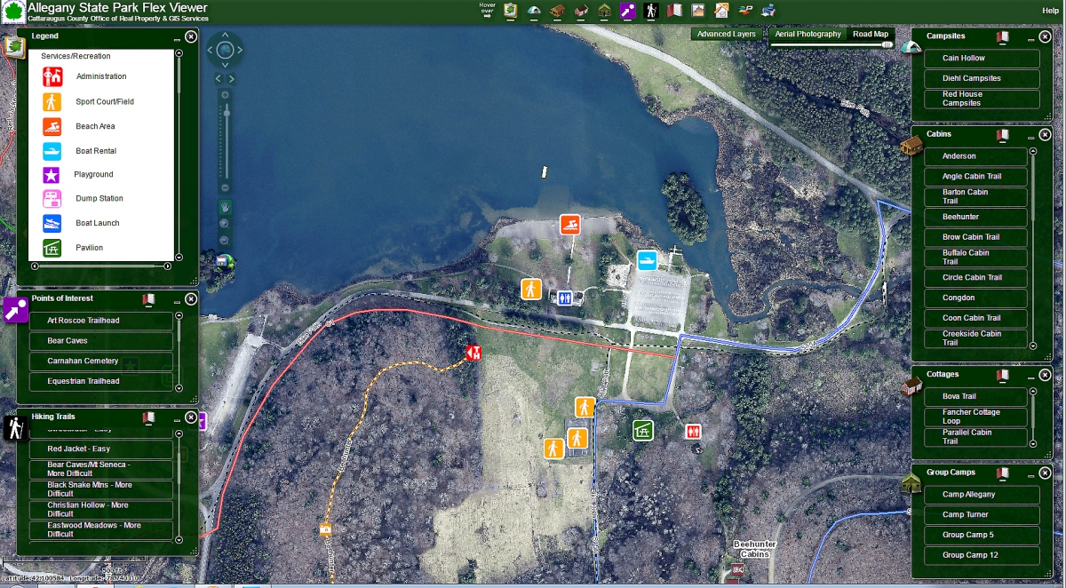
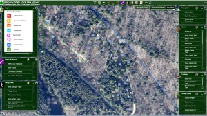
Screenshot of Allegany State Park Map Viewer zoomed in on Red House Lake and beach showing Recreation icons. 2015-08-10
The Office of Real Property & GIS Services is pleased to announce the creation of a new interactive map webpage that includes several new interactive web maps! Each of these interactive maps are free to use to the public and are powerful tools for those interested in the subject each map covers. The webpage features our already existing Cemetery Viewer and Trails Viewer, but also includes our new Allegany State Park Flex Viewer and our new mobile-friendly Outdoor Viewer!
Allegany State Park Flex Viewer
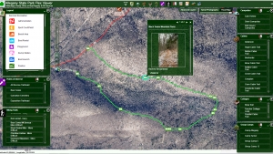
Created with the help of Allegany State Park staff, our Allegany State Park Flex Viewer contains all of the campsites, cabin trails and cottages that are available for rent and are complete with street level photography for each site. Aerial and oblique photography of campsites and cabins can be viewed with the Pictometry widget to gain a better perspective on the site/area of interest. When a site of interest has been found, each cabin/campsite point contains a link to the ASP reservation page so the site can be reserved. Also present on the viewer are hiking trails complete with photos and other points of interest within the park.
Outdoor Viewer
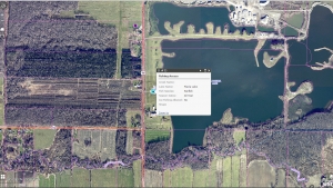
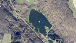
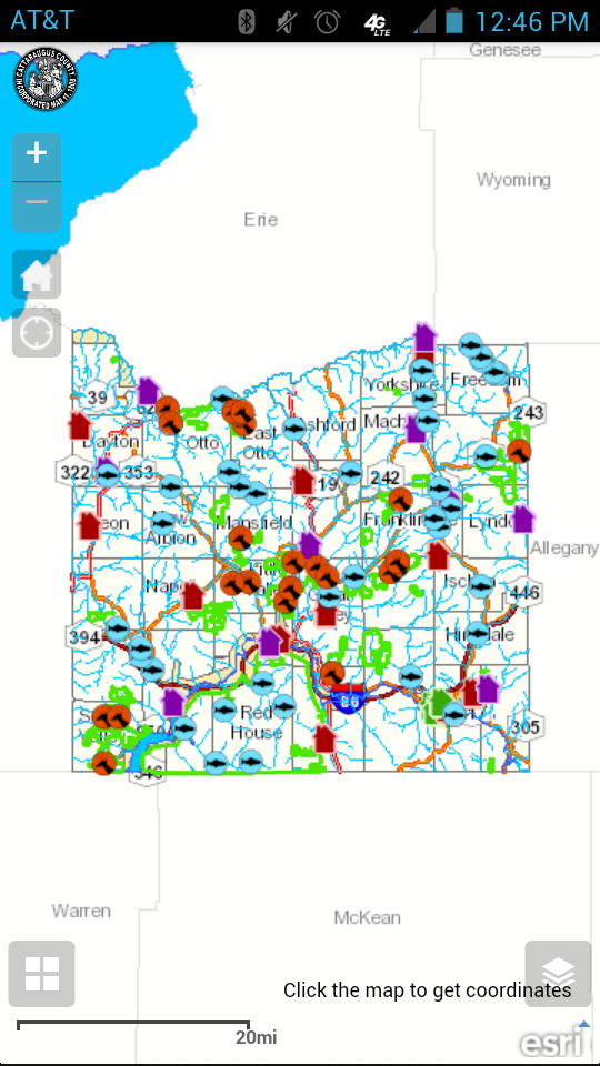
Our Outdoor Viewer contains the same parcel information that is available on our Parcel Viewer, along with information on state lands, state land parking areas, public fishing access and areas of public fishing rights, and stores with hunting and fishing supplies. Environmental information such as contours, lake contours and water bodies are also available. The application has the ability to make use of GPS capabilities within mobile devices, which will pinpoint your location on the map.
More Interactive Maps
The webpage can be found on the Real Property & GIS website and directly at www.cattco.com/real-property-and-gis/other-interactive-maps.
Need Help with a Viewer or Maps?
For help with any of our viewers and other GIS questions, please contact Chris Holewinski, GIS Coordinator 716-938-2322 or use the contact form.
